The automated in-car navigator that predated satellites
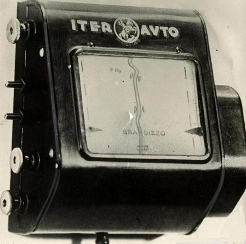
The Iter-Auto had map scrolls instead of a screen.


Standalone navigation devices are a dying breed. These days vehicles tend to have navigators plumbed into their dashboards, and as long as there's a smartphone to hand... well, there's an app for that. Demand for the devices nosedived years ago, but the technology underpinning them is alive and well, floating out there in space. What we all know as GPS wasn't operational until the mid '90s, though this was predated by Transit, the first satellite-based geolocation network completed in the '60s. But the first automated in-car navigation system was developed long before we had the technology to put anything into space.

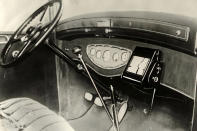
The concept of the modern navigator can be traced back to the early 1930s and the creation of the Iter-Auto. Manufactured by an Italian company based in Rome, the contraption was designed to be mounted to your car's dashboard and loaded with routes printed on long paper scrolls. It was hooked up to the vehicle's speedometer, and so the scroll would wind automatically in proportion with distance travelled. The maps themselves also included alerts of upcoming road features, like bridges and level crossings, as well as garages, hotels and such -- much like their digital equivalents today.

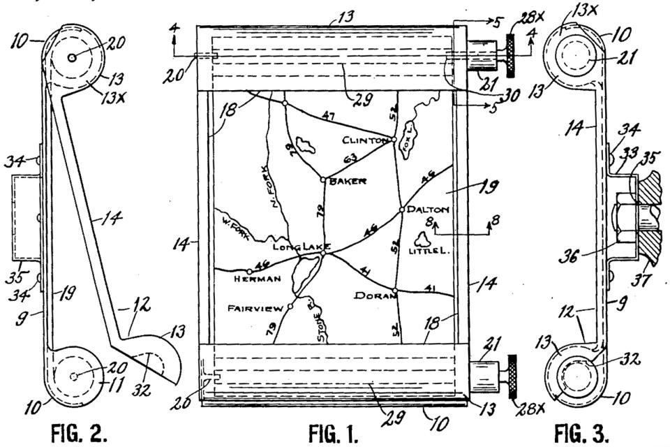
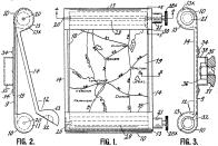
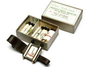
But even the Iter-Auto wasn't an entirely new idea. A US patent granted in 1921 to one John J. Bovy describes a dashboard-mounted navigation aid for drivers that uses maps printed on scrolls. And a few years later, in 1927, a British firm manufactured the Plus Four Wristlet Route Indicator, which was like an early 20th century version of a smartwatch running Google Maps. It came bundled with scrolls covering many popular travel routes across the UK, often starting from London. You received a golf scorecard scroll, too, so you could say even this antique wristworn gadget had multiple 'apps.'

The key innovation of the Iter-Auto over previous, similar designs was the added level of automation. Thanks to its speedometer tether, it offered a new hands-free approach to roughly accurate navigation. The Iter-Auto proved to be ahead of its time, however. Car ownership was rare in the early '30s, and maps printed on scrolls were only really viable for routes along predominantly straight, Roman-style roads; a wrong turn, or any turn in fact, could quickly take you off-grid. As such, the Iter-Auto never achieved mass-market success.

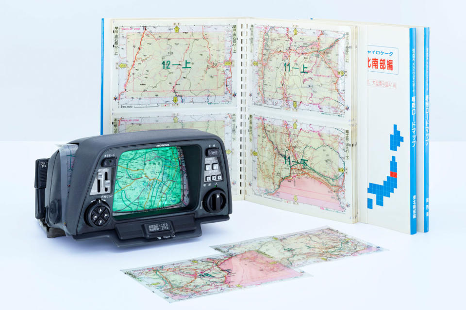
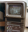
That said, the idea of combining telemetry with physical maps re-emerged in 1981 with the Honda Electro Gyrocator: A prohibitively expensive, optional extra on a few Honda models of the time. A driver would insert transparent maps over its 6-inch monochrome screen, and their current location was shown by a blinking dot. It would move around the map overlay based on information fed to the device by the car's transmission and a gas gyroscope contained within. A serious improvement over the Iter-Auto's one-way scrolling maps.

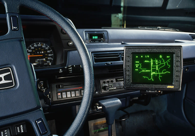
The Honda Electro Gyrocator was superseded a few years later by the Etak Navigator. This system comprised a vector display and digital maps stored on cassettes, though telemetry from wheel sensors and a compass was still used to determine location. Crucially, the Etak Navigator could turn street addresses into longitude/latitude coordinates, and so actively guide the driver to their destination. Etak has changed hands several times over the years and though the name ceased to exist some time ago, it's technically owned by TomTom at this point.

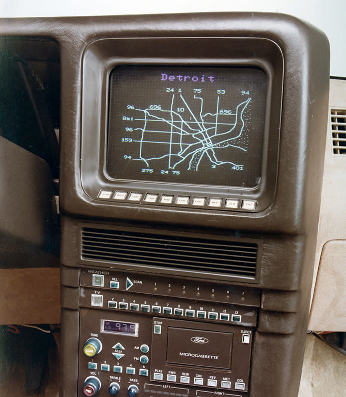
Even before the Etak Navigator was released, companies including Ford were conceptualizing the first satellite-based car navigation systems. And when GPS became a public utility in 1995, all telemetry-based systems began to fade into obsolescence, just as standalone navigation devices are today. Now we use our smartphones and a suction mount to get from A to B, but the original seed was undoubtedly sown way back in the 1930s with the release of the Iter-Auto.
Technological innovation didn't begin with the development of the first integrated circuit in the 1950s. Backlog is a series exploring the era of possibilities: engineering feats that followed the industrial revolution, quirky concepts the future's rendered obsolete, and inventions that paved the way for some of the technology we use today.
